Welcome to www.prc-consult.com, or Short Name Called PRC
Welcome to PRC
- TH
- EN


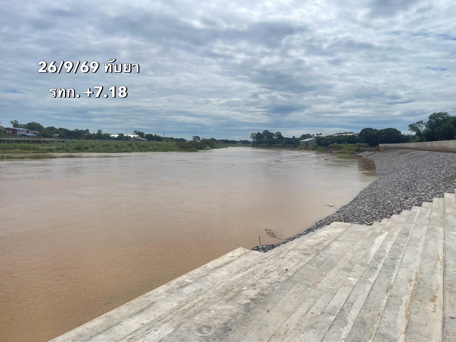
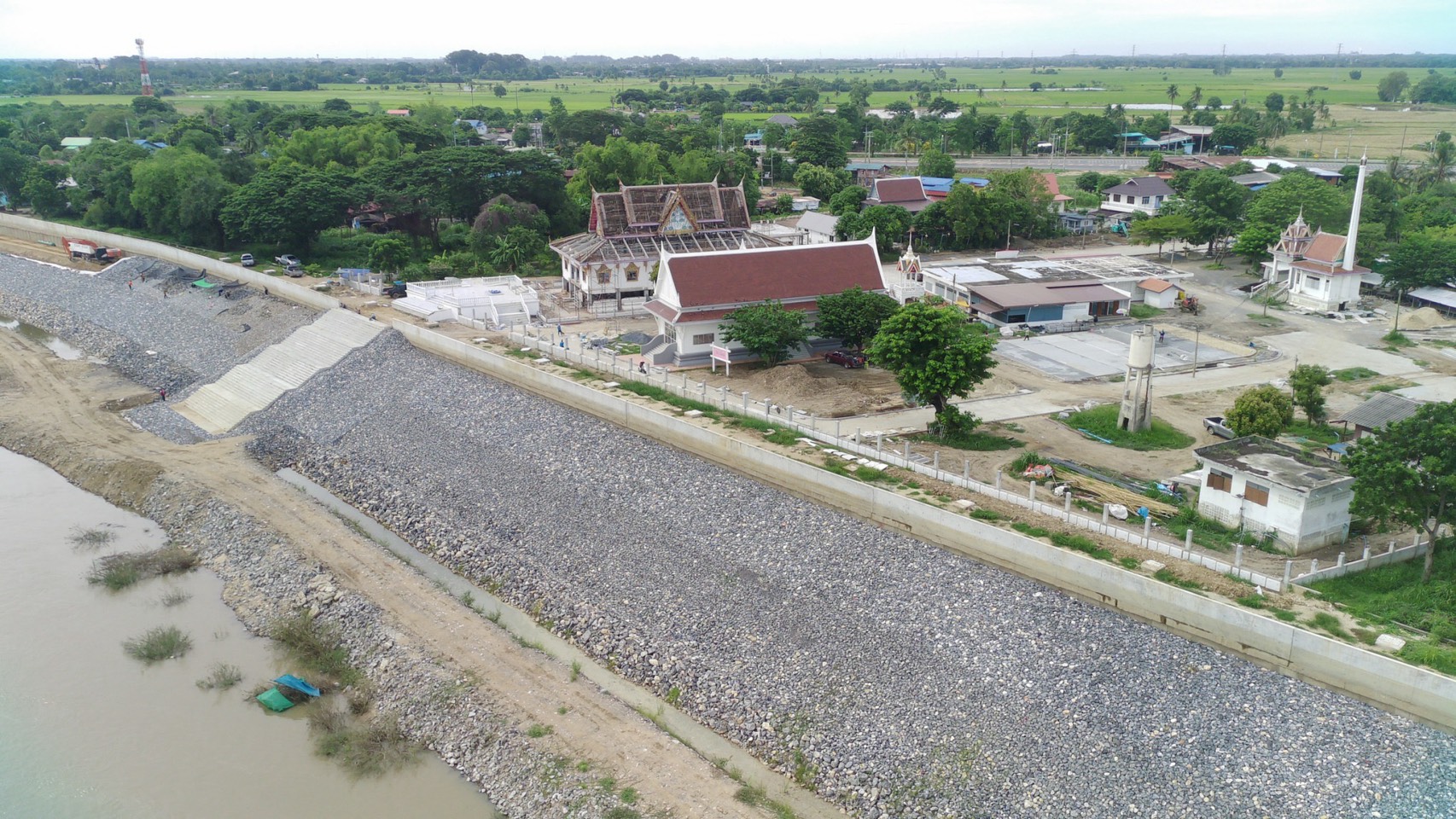
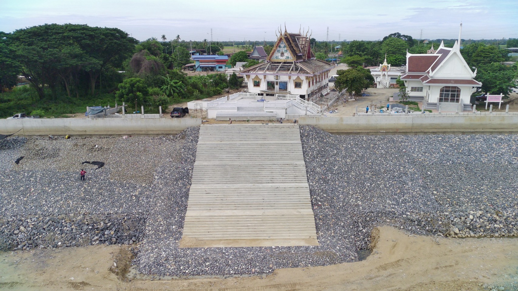
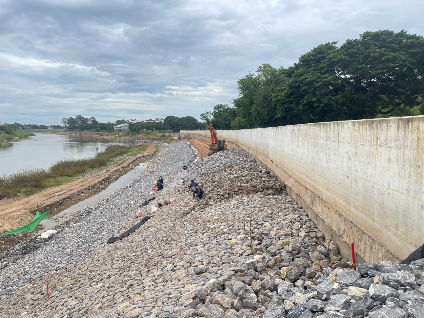
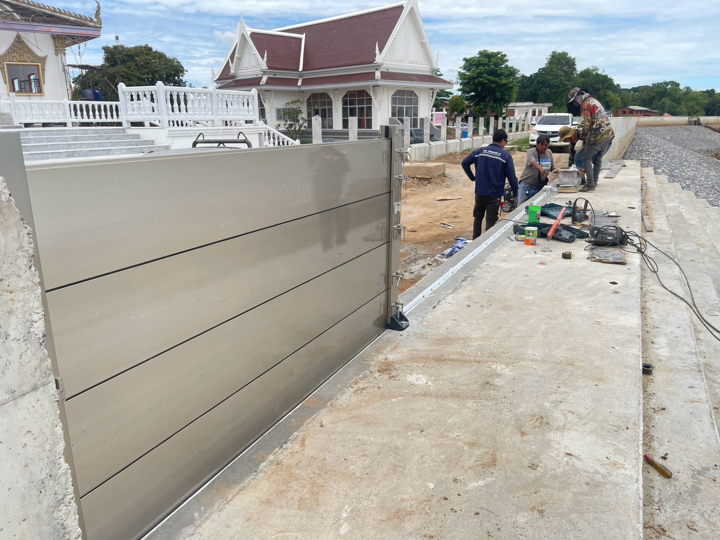
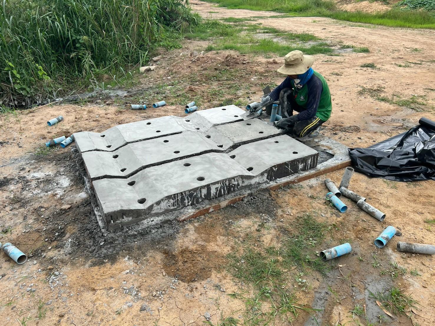
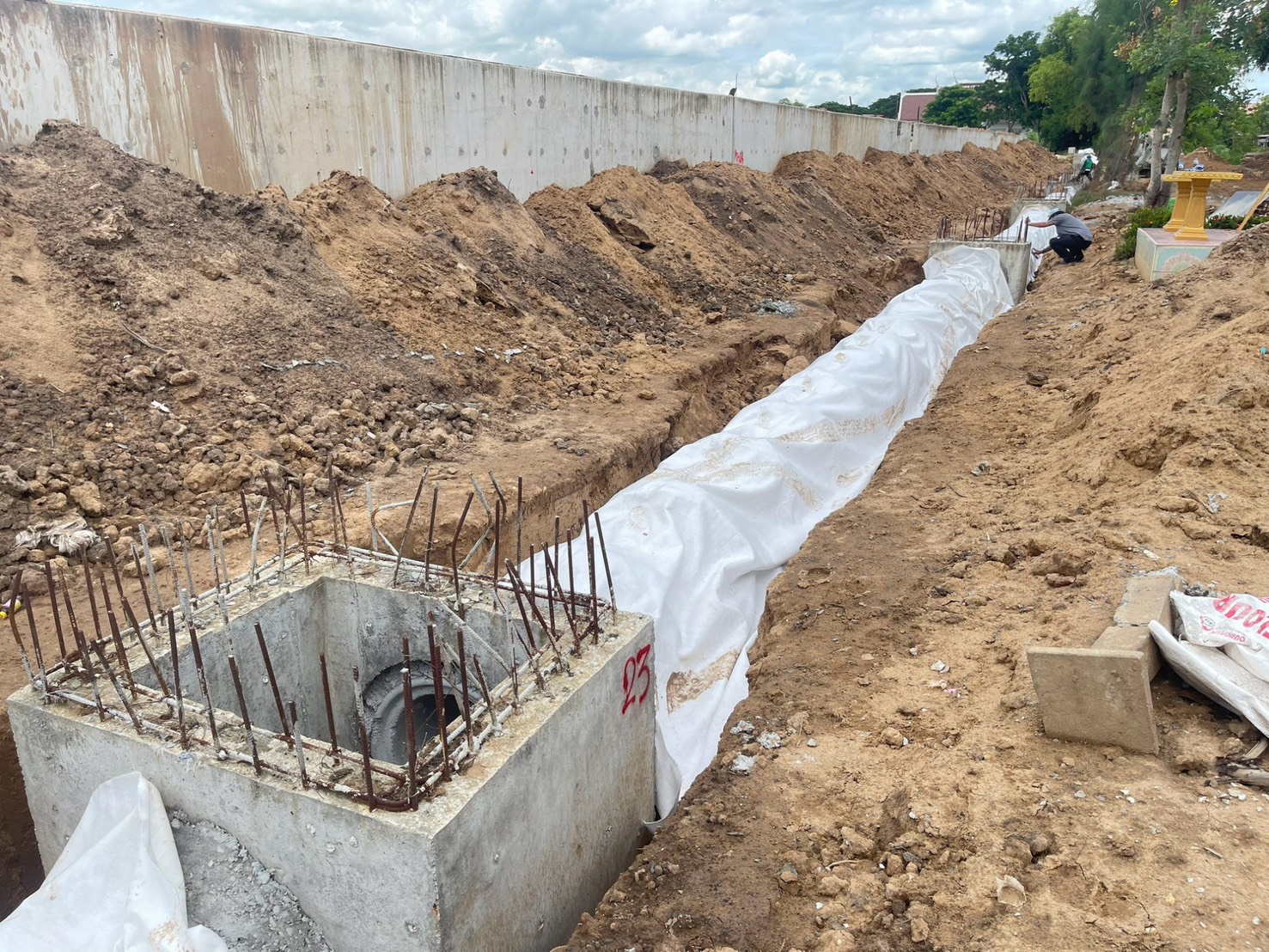
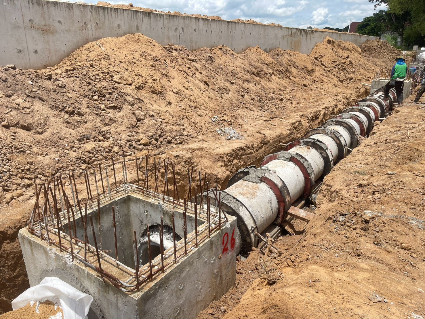
In Buri District, Sing Buri Province.
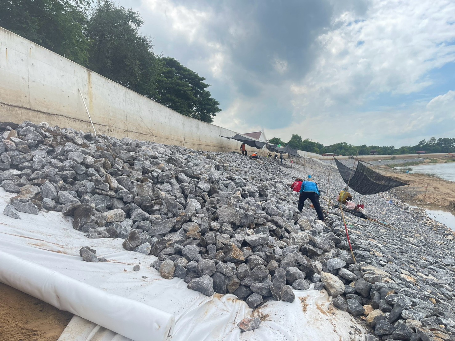
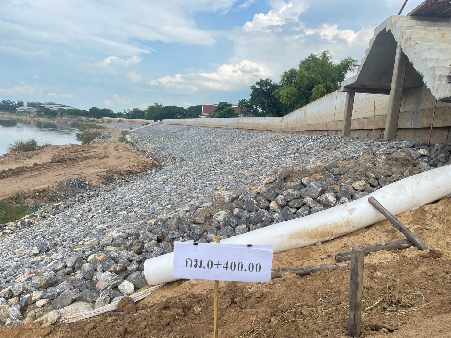
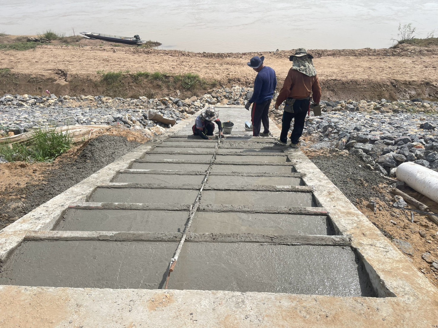
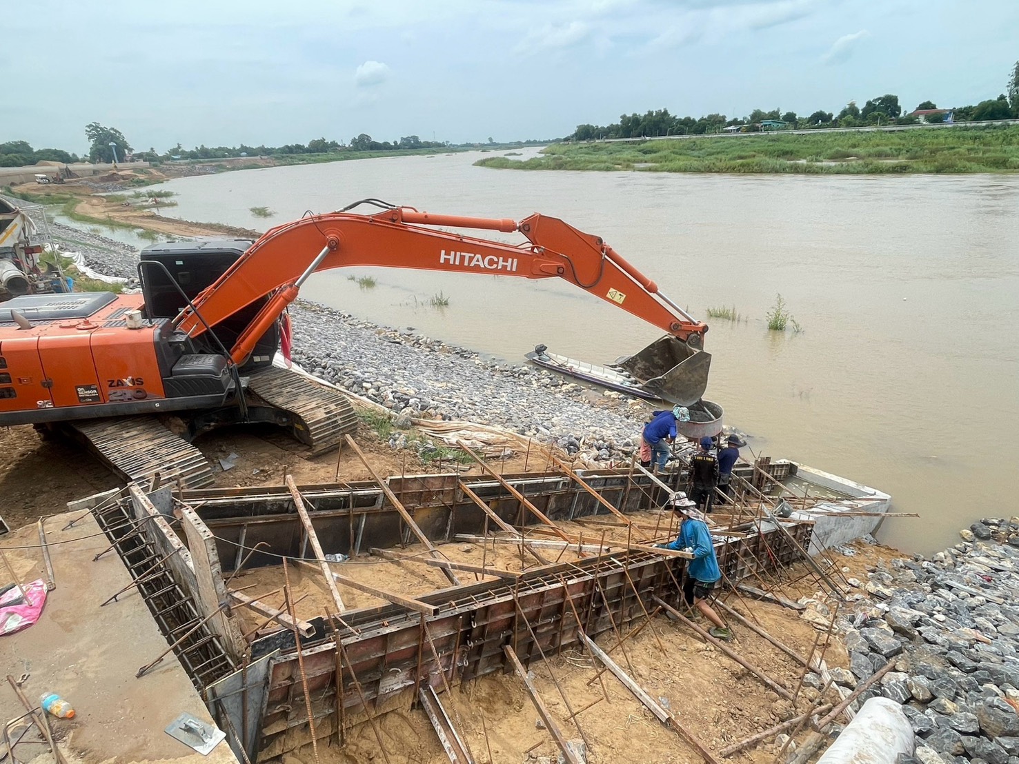
Construction Of A Flood Protection Embankment In The Thap Ya Community Area, With A Maximum Flood Protection Level Of +15.20 M (MSL). 1. Construction Of The Flood Protection Embankment From Wat Sutthawat To Wat Yang (Station Km 0+000 To Km 1+738.503). The Project Spans A Length Of 1,738.503 Meters And Comprises The Following: Type 1Gor Flood Protection Embankment (A Concrete Structure Featuring Main Piles And Anchor Piles, Accompanied By A Roadway And Riprap/Stone Pitching For Bank Protection); Type 2A Flood Protection Embankment (An L-Shaped Concrete Retaining Wall Structure, Accompanied By A Reinforced Concrete Road And Stone Pitching For Bank Protection); Construction Of Nine Staircases Providing Access To The Chao Phraya River; And Construction Of Two Pumping Stations. 2. Construction Of Flood Protection Embankment, Section From Wat Yang To Wat Singh (Km 0+000 To Km 1+907.125). Length Of 1,907.125 Meters, Comprising Flood Protection Embankment Type 1Gor And Type 1Kor—Structured As A Concrete Barrier Wall Supported By Main Piles And Anchor Piles—Along With An Access Road, Dumped Stone, Riprap Bank Protection, And Riprap Bank Protection With Piles (For Type 1Kor); Construction Of 10 Staircases Providing Access To The Chao Phraya River; Construction Of 2 Pumping Stations; And 1 Boat Ramp. 3. Construction Of The Flood Protection Embankment From Wat Sing To Wat Kadang-Nga Buppharam (Station Km 0+000 To Km 1+468.689), Spanning A Length Of 1,468.689 Meters, Comprising: Flood Protection Embankment Type 2B Consists Of An L-Shaped Concrete Retaining Wall, A Reinforced Concrete Road, And Riprap Bank Protection; Flood Protection Embankment Type 1Gor Consists Of A Concrete Structure With Main Piles And Anchor Piles, A Road, And Both Dumped Stone And Riprap Bank Protection; Construction Of Nine Sets Of Access Stairs To The Chao Phraya River; And Construction Of One Pumping Station. 4. Bank Protection Improvement Works In The Prasuk Community Area, Designed To Provide Flood Protection Up To A Maximum Level Of +16.00 M (MSL), Comprising: Bank Protection Embankment Improvement Work: Section At Moo 4, Prasuk Subdistrict (Length 567.016 Meters); Section At Moo 5–Moo 6, Prasuk Subdistrict (Length 425.127 Meters); And Phase 3 (Length 945.176 Meters).
277.16 Million Baht
Department of Public Works and Town & Country Planning
Department of Public Works and Town & Country Planning
S.K.Y. Construction Co., Ltd.
August 2026